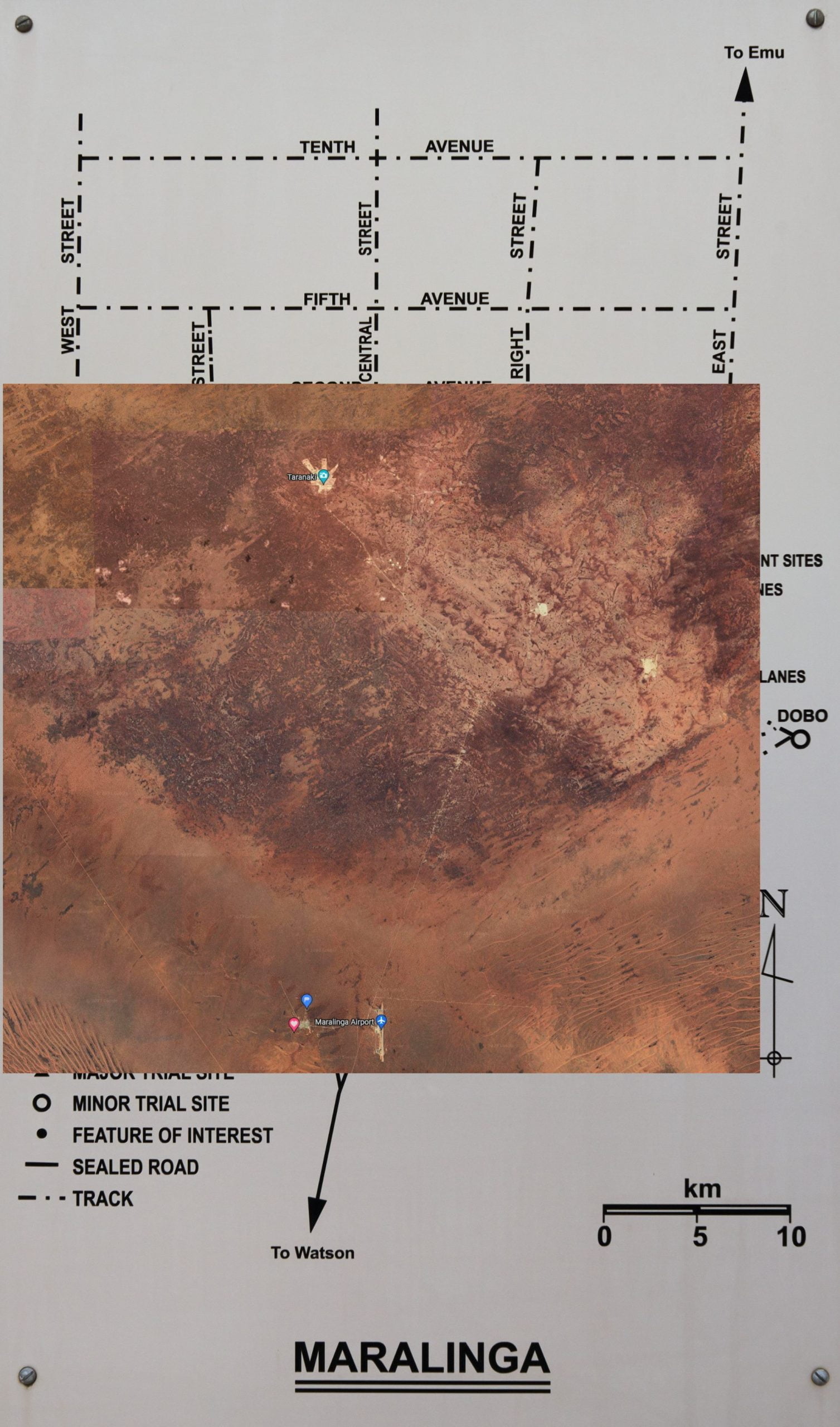
Maralinga Map with Google Satellite Overlay
You can drag the slider to show the satellite image overlaid on the map at the same scale. See below.
The light patches you can see at Taranaki, Wewak and Kittens are where the topsoil was scraped, buried and overlaid with clean fill following the 1980s cleanup.
These local areas were heavily polluted with toxic radioactive substances, like uranium and plutonium, during the minor trials, not so much by the nuclear explosions of Operation Buffalo. The minor trials took place from 1953 to 1963.
The seven nuclear explosions whilst highly destructive and highly radioactive at the time, have remnant isotopes with a relatively short half-life. Also, much of the radioactive pollution from the atomic blasts was to the atmosphere and spread vast distances to the detriment of distant communities.
The radioactive substances used in the 550-odd minor trials, which were codenamed Kittens, Tims, Rats and Vixens, were much more toxic, insidious, and deadly. Requiring over $100 million spent to bury contaminated soil and infrastructure long after the British government had declared the site ‘clean’.
The spin doctors of the time renamed them from Minor Trials to Assessment Trials after the 1958 moratorium on atmospheric testing, for fear of people thinking they were minor atomic explosions.

See the Google version here.